Coastal Erosion and Land Cover Monitoring
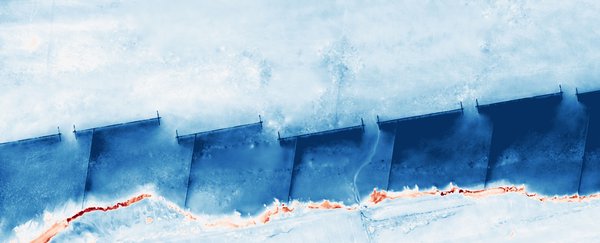
Drone-based monitoring of coastal erosion, sedimentation and land cover change on the Wadden Sea coast, served through an interactive web portal.
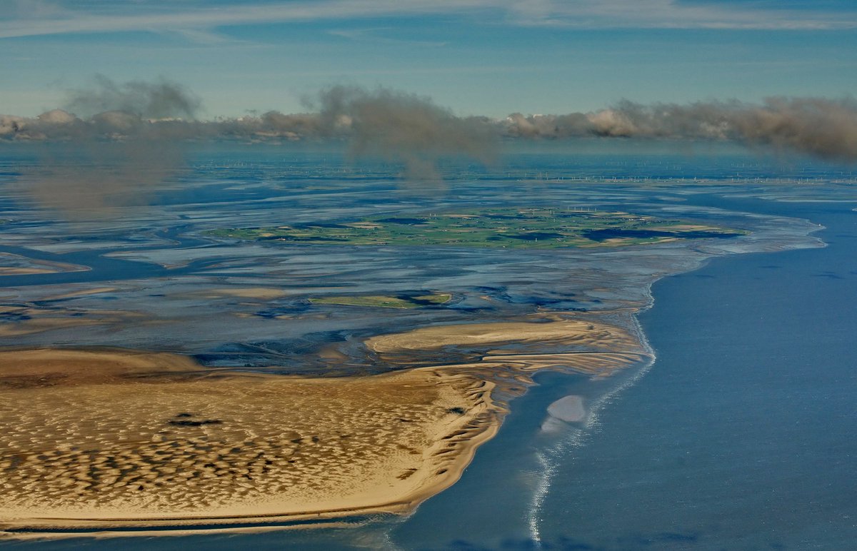
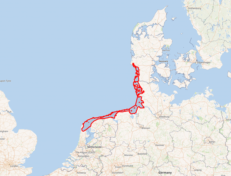
The Wadden Sea is the largest unbroken system of intertidal sand and mud flats in the world, stretching along the coasts of the Netherlands, Germany and Denmark.1 It covers about 10,000 km² of tidal flats, channels and sandbanks,2 and has been a UNESCO World Heritage Site since 2009.2
Some 10 to 12 million birds pass through every year, with up to 6.1 million present at once, making it a crucial stop on the East Atlantic flyway.1 Its sandbanks are haul-outs and nurseries for harbour and grey seals.1
Its outlook is rated “good with some concerns”: climate change and sea level rise threaten the low tidal flats, and shipping, energy development and extraction add up around them.1
We work on this coast in three ways: counting and recognising seals from aerial surveys, measuring bird flu’s toll on seabird colonies by drone, and mapping how the coastline at Wierum erodes and builds up from repeated drone flights.
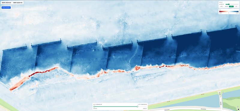
Drone-based monitoring of coastal erosion, sedimentation and land cover change on the Wadden Sea coast, served through an interactive web portal.
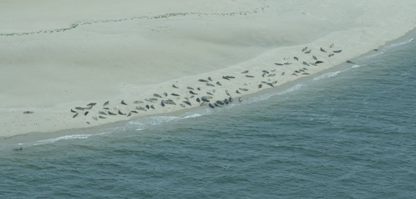
Automated seal population monitoring system using AI to count, classify, and identify individual seals from aerial imagery in the Wadden Sea.
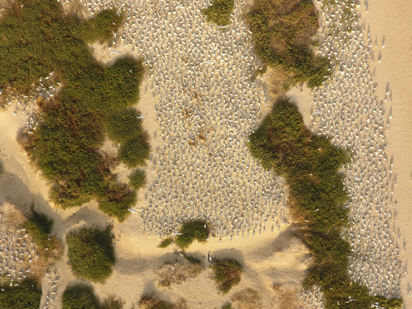
Utilize drones for precise monitoring of breeding seabird colonies by detection of live and dead adults and chicks to determine survival and reproduction and asses the impact of avian influenza.
Re-identifying individual seals by their whisker and face patterns, non-invasively and across seasons.

Automated bird surveys from drone imagery. AI finds every bird, identifies its species, sex and behaviour, checks whether it is alive, and turns it all into georeferenced maps and reports.
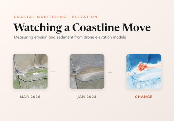
How CODAP measures erosion and sedimentation on the Wadden Sea coast by differencing drone elevation models, cleaning out the noise without losing real change, and reading the result with transects.
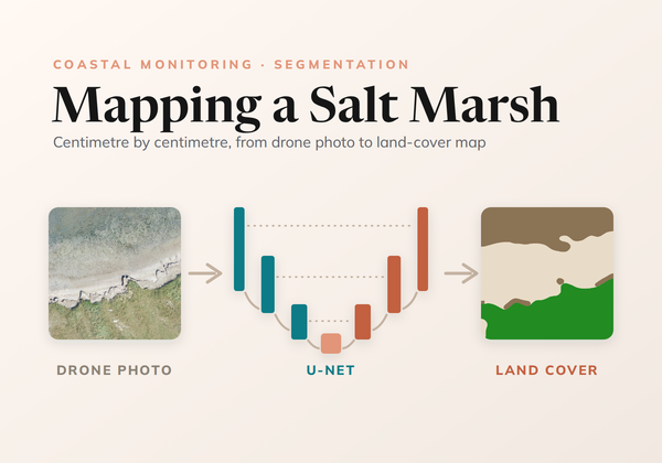
How we trained a U-Net to map land cover on the Wadden Sea coast from drone photos, from ecologists' labels at any level of detail to a seamless map of every survey.
Every project here was built hand in hand with conservation partners, and much of the code is open source. If our work fits a challenge you're facing, or you'd like to build something together, we'd love to hear from you.